Image default
WEATHER

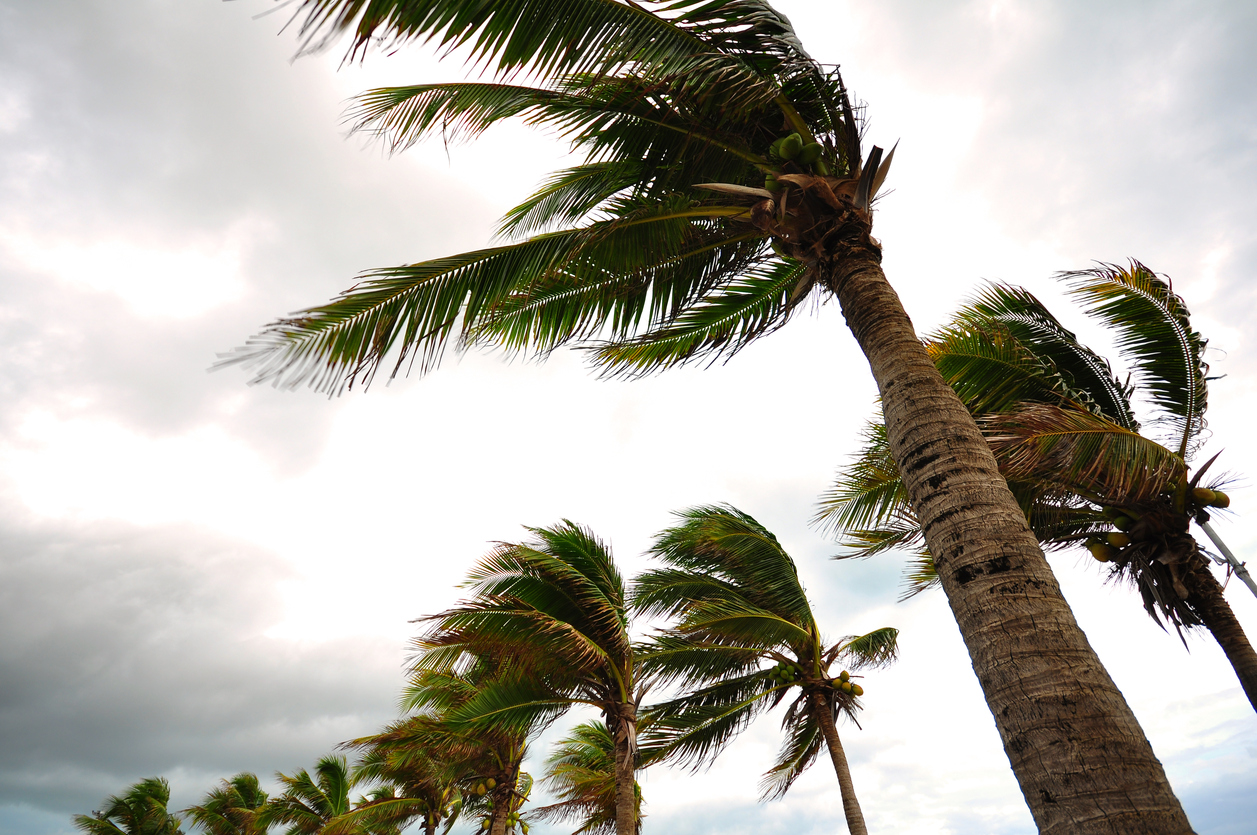
Atlantic Waters Stirring: Forecasters Watching Potential Tropical System

Forecasters are projecting the formation of another named storm as the season’s peak period of activity ramps up…

Getting your Trinity Audio player ready...

by ERIN PARROTT

***

Forecasters with the National Hurricane Center (NHC) are monitoring a large disturbance over the central Atlantic that has a chance of forming into a tropical depression later this week – with the potential to strengthen into Tropical Storm Gabrielle.

Currently positioned a few hundred miles west-southwest of the Cabo Verde Islands, the disturbance – which is causing a cluster of disorganized showers and thunderstorms – is tracking west-northwest across the central tropical Atlantic at roughly fifteen miles per hour.

While the Atlantic has been relatively calm since Hurricane Erin – the season’s first named hurricane last month – forecasters say this system carries a 90% chance of strengthening into a tropical cyclone within the next week as it continues to pick up speed.

Dubbed as Invest 92L, some forecast models keep the system out at sea, others point it toward the Caribbean, Bermuda, or even the U.S. East Coast – raising the potential for Tropical Storm Gabrielle to deliver heavy rain, dangerous surf and flooding as it tracks westward.

Support FITSNews … SUBSCRIBE!

***

“This system has become better organized since yesterday and is expected to move through a favorable environment for further development,” forecasters noted on Monday (September 15, 2025). “A tropical depression or tropical storm is likely to form by the middle to latter part of this week.”

For now, the system poses no immediate threat to the Carolinas, as dry and stable conditions are expected to limit its development in the short term – but they’ll keep a close eye on its development (and direction) over the coming weeks.

FITSNews previously reported that forecasters with the National Oceanic and Atmospheric Administration (NOAA) called for 13-19 total named storms this season – 6-10 of which were projected to become hurricanes and 3-5 of which were projected to become major hurricanes (i.e. with winds of 111 miles per hour or higher). 

However, this year’s six named storms – Andrea, Barry, Chantal, Dexter, Erin and Fernand – have the season falling just below the annual average to date. Last year, the tropics took forever to get cranked up – but when they did, the damage was significant.

Hurricane Helene and Hurricane Milton, in particular, caused massive destruction – leading to 2024 being the third-costliest season on record (trailing only 2005 and 2017) at $130.4 billion in total losses.

Courtesy of our intrepid research director Jenn Wood, here is a look at recent tropical trends …

***

***

In addition to immediate damage from Helene – which ripped through the Palmetto State on September 27, 2025 – South Carolina dealt with its aftermath back in the spring. Downed timber and fallen limbs caused by the storm helped fuel a pair of massive, manmade forest fires in the mountainous region of the Upstate in March and April.

Collectively referred to as the Table Rock Complex, those fires burned more than 15,000 acres in Pickens and Greenville counties prior to being extinguished.

Count on FITSNews to keep an eye on the tropics – along with any other systems that emerge during the 2025 hurricane season, which runs through the end of November.

***

ABOUT THE AUTHOR…

Erin Parrott (Provided)

Erin Parrott is a Greenville, S.C. native who graduated from the University of South Carolina in 2025 with a bachelor degree in broadcast journalism. Got feedback or a tip for Erin? Email her here.

***

WANNA SOUND OFF?

Got something you’d like to say in response to one of our articles? Or an issue you’d like to address proactively? We have an open microphone policy! Submit your letter to the editor (or guest column) via email HERE. Got a tip for a story? CLICK HERE. Got a technical question or a glitch to report? CLICK HERE.

***

Subscribe to our newsletter by clicking here …

*****

Related posts

WEATHER

Tropical Curve: South Carolina Dodges A Bullet

Will Folks
WEATHER

Atlantic On Alert: Humberto Intensifies, New System Targets Carolinas

Erin Parrott
WEATHER

Atlantic Waters Stirring: Forecasters Tracking Twin Tropical Waves

Erin Parrott

1 comment

FacRebel September 17, 2025 at 7:29 am

Hurricanes are radical leftwing events supporting the climate change cult – nuke em as Trump proposed!

Reply

Leave a Comment