
Tropics Heating Up: Gonzalo May Become First Hurricane Of 2020 And There’s More to Come
As if we didn’t have enough to deal with in 2020, the tropics are heating up early and quicklyYou must Subscribe or log in to read the rest of this content.
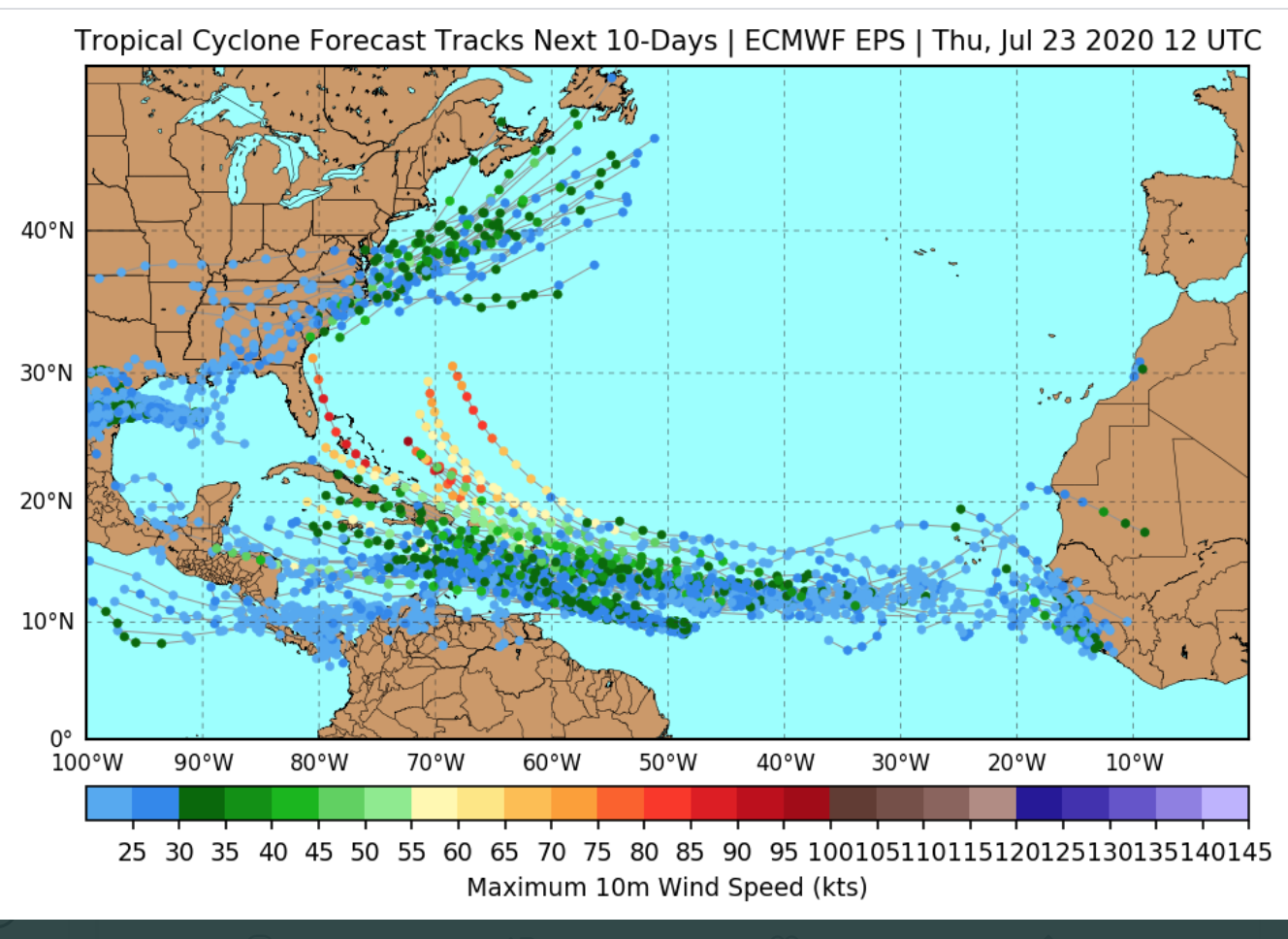
As if we didn’t have enough to deal with in 2020, the tropics are heating up early and quickly