
SC Weather: 60 MPH Winds, Tornadoes Could Hit Lowcountry and Midlands Sunday
Get ready, South Carolina, another round of severe storms could be heading our way tomorrow. LYou must Subscribe or log in to read the rest of this content.
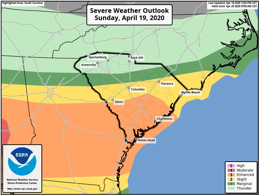
Get ready, South Carolina, another round of severe storms could be heading our way tomorrow.