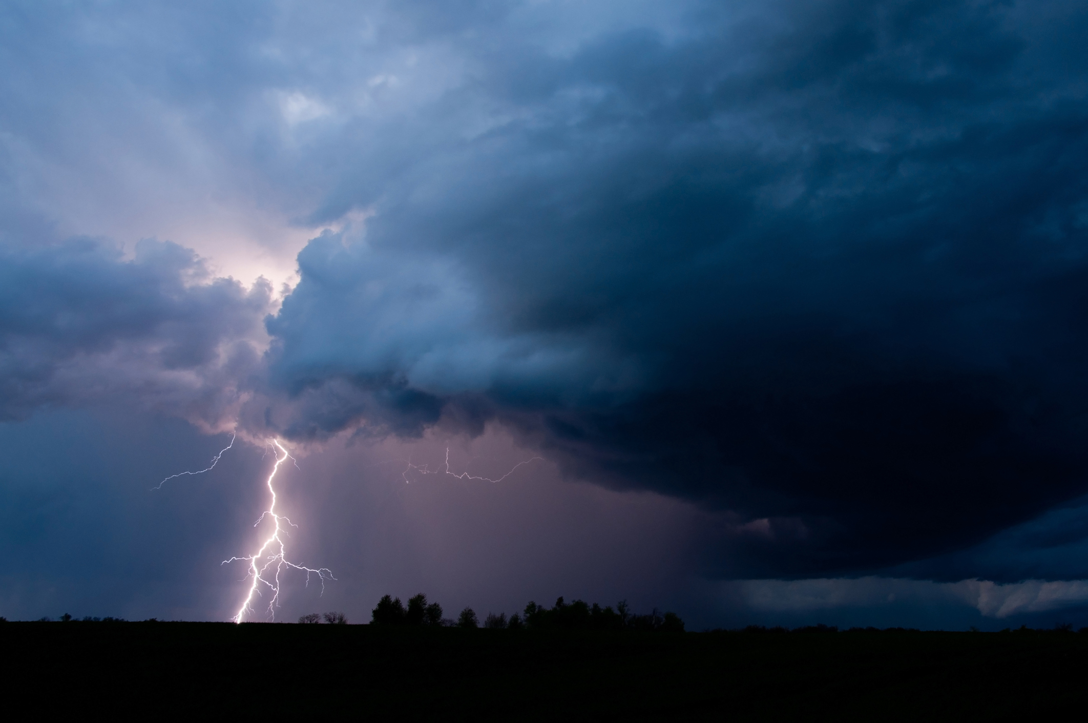
A line of severe thunderstorms is expected to push through South Carolina on Easter Sunday evening and Monday morning – bringing winds of up to seventy miles per hour, hail as big as softballs, possible tornadoes and widespread flooding to the Palmetto State.
Officials warned that the entire state is at “elevated risk” of tornadoes and “damaging straight line winds” as a result of the system – which national officials say is likely to do the most damage to northeast Louisiana, Mississippi, Alabama, southern middle Tennessee and western Georgia.
As many as 4.5 million people are in the path of the storm system – with the population centers of Jackson, Mississippi and Birmingham, Alabama being among the most exposed metropolitan areas.
“This could be one of our bigger events we’ve had in a long time around here,” forecaster Gary Goggins of the Birmingham branch of the National Weather Service (NWS) told viewers on social media early Sunday.
According to meteorologists, conditions associated with the front “will favor embedded supercells capable of producing strong tornadoes and damaging winds.”
Even in the Palmetto State? Yes …
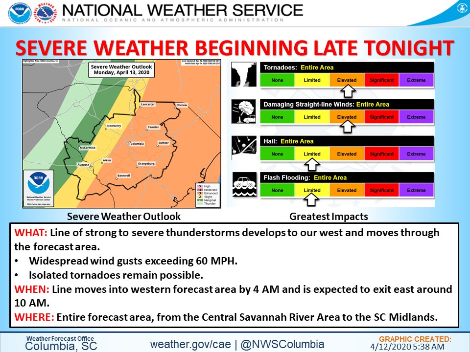
“Expect widespread wind gusts exceeding 60 miles per hour with isolated tornadoes possible,” the Columbia, S.C. branch of the NWS tweeted on Sunday morning.
The branch later updated that projection Sunday afternoon to incorporate “damaging wind gusts” as high as seventy miles per hour.
The worst of the system is expected to move across the state beginning this evening and lingering through Monday afternoon. For Upstate residents, the brunt of the severe weather will pass by between Sunday evening and 7:00 a.m. EDT on Monday. For Midlands residents, the worst of the system will pass by between 4:00-11:00 a.m. EDT on Monday. And for residents in the eastern Pee Dee and coastal areas of the state, the front’s worst weather is likely to occur between 7:00 a.m. EDT and early Monday afternoon.
Officials with the S.C Emergency Management Division (SCEMD) tweeted on Sunday afternoon that South Carolinians should “be ready to take immediate safety precautions if a warning is issued” for their areas. Residents were urged to prepare for “down trees, power outages and flash flooding.”
SCEMD also referenced NWS forecasts calling for “quarter to softball sized hail.”
Here is a look at the latest forecast warning …
(Click to view)
(Via: NWS Columbia)
“Your first priority should be to protect yourself from a potential tornado if a warning is issued for your area,” SCEMD tweeted. “Know ahead of time where you will go if storms threaten your home and family.”
SCEMD specifically warned residents living in mobile homes – of which there are more in South Carolina than any other state – to take special precautions.
“If you’re inside a mobile home when a tornado watch is issued, move to a sturdier structure,” the agency tweeted. “Even mobile homes equipped with tie-downs can be blown away by severe winds. It is best for you to shelter with friends, family or neighbors in a sturdier home.”
Wait … isn’t the state currently under a statewide stay-at-home order due to the coronavirus pandemic?
Yes, but …
“If you are concerned about contracting or possibly transmitting the COVID-19 virus while taking tornado safety precautions, the imminent danger of a tornado is a greater, immediate threat to your personal safety than COVID-19,” SCEMD tweeted.
Developing …
-FITSNews
***
WANNA SOUND OFF?
Got something you’d like to say in response to one of our articles? Or an issue you’d like to address proactively? We have an open microphone policy! Submit your letter to the editor (or guest column) via email HERE. Got a tip for a story? CLICK HERE. Got a technical question or a glitch to report? CLICK HERE.
(VIA: GETTY IMAGES)


